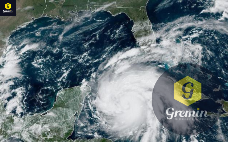
As the Florida has been hit by hurricane since last few days, now the Hurricane Ian strengthened as it headed for Florida and was on track for a powerful storm surge and potentially flooding rainfall to most of the state this week. After a slow start to the 2022 Atlantic hurricane season, Ian has ideal conditions. It faces minimal vertical wind shear – the difference in wind speeds and directions at different heights that can tear apart a storm. And the Caribbean Sea and Gulf surface waters are majorly responsible for inclining the storm.
Forecasters expect Ian to become a major hurricane – Category 3 or higher, meaning winds over 110 mph – likely before crossing Western Cuba on Tuesday. Its winds could weaken before landfall in the U.S., but the scale doesn’t take water risk into account, and flooding and storm surge are both major risks from Ian. Regardless of the landfall location, most of the Florida Peninsula will see effects from Hurricane Ian.


